
HA LONG BAY

The name Hạ Long has evolved through different periods of history. During the period of Chinese rule, the region was known as Lục Châu or Lục Hải. Later, under the Lý, Trần and Lê dynasties, the bay was also known by several other names, including Hoa Phong, Hải Đông, An Bang, Vân Đồn, Ngọc Sơn and Lục Thủy. The name Hạ Long, meaning “descending dragon”, is believed to have appeared for the first time in certain French documents and nautical charts at the end of the 19th century.

In the newspaper Tin tức Hải Phòng, published in French, an article entitled “Dragon Appears in Hạ Long Bay” reported the sighting of a creature resembling a dragon in the area corresponding to present-day

Île Gà Chọi (Photo: Archive)

Hạ Long Bay. According to the account, the French lieutenant Legderin, captain of the ship Avalence, and his crew reportedly saw a pair of giant sea serpents on three occasions, in 1898, 1900 and 1902.

It is possible that Europeans associated this creature with the image of the Asian dragon, a legendary being deeply revered in Vietnamese culture and in many other Asian cultures. Alongside Vietnamese legends about the Mother Dragon and her children descending into the islands of the north-east, the sighting of this strange dragon-like creature may have contributed to the use of the name Hạ Long Bay for this maritime area of Quảng Ninh Province. The name later became widely used and remains in use today.


Best Time to Visit Ha Long Bay

From April to August.


Places to Visit in Ha Long Bay

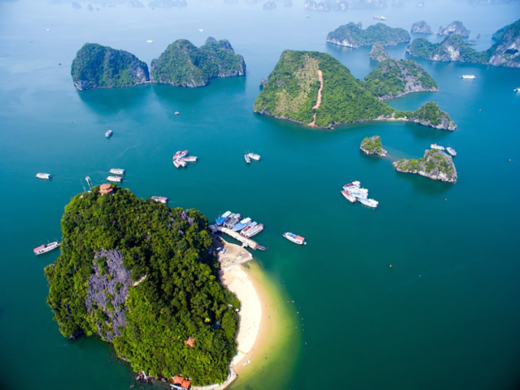
Ti Top Island

(Photo: Archive)

According to several documents, old maps and local tradition, the island was once known as Hồng Thập Tự, meaning “Red Cross”, or Nghĩa Địa, meaning “cemetery”. These names are said to be linked to an accident that occurred in 1905, when a French merchant ship entered Hạ Long Bay without a pilot who knew the passages well, struck underwater rocks and sank in Con Cóc Cove.
The sailors who died in the shipwreck were buried on the island. For many years afterwards, the island remained uninhabited.

On a French map of Hạ Long Bay dating from the late 19th century, the island also appears under the name Cát Nàng.

.

On 22 January 1962, President Hồ Chí Minh visited the island together with Soviet cosmonaut Gherman Stepanovich Titov. To commemorate this visit, President Hồ Chí Minh named the island Ti Top.
Luôn Cave

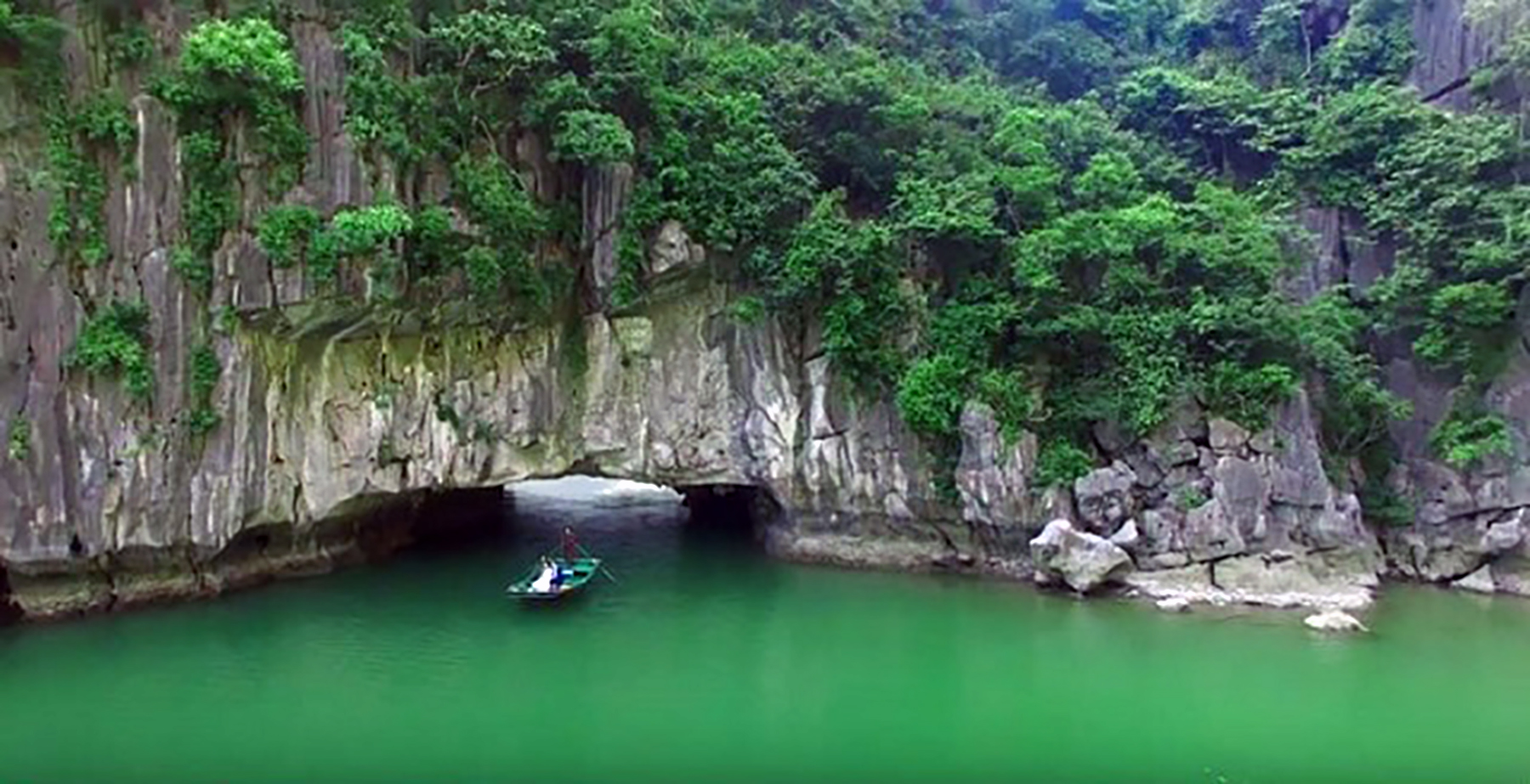
Luon Cave is located on Bo Hon Island, around 14 km south of Ha Long Bay. Its natural setting is particularly striking: the Con Rua rock formation stands opposite the entrance, while the Heaven’s Gate formation can be seen to the right. The surrounding vertical cliffs create an intimate, peaceful and mysterious atmosphere.

Luon Cave is in fact a natural tunnel running through the mountain. Its emerald-green waters, as clear as a mirror, further enhance the wild and mysterious character of the site. At the entrance, an arch-shaped opening allows visitors to pass through the limestone wall and enter the cave.

It is a secluded area, accessible from the sea through a single cave approximately 4 metres wide, 3 metres high and 100 metres long. Inside, a calm lagoon is enclosed by four mountain walls and covers an area of around 1 km². Fossilised shells can still be seen on the cliffs, providing evidence of ancient human presence in the region, which was probably once a deep valley.

(Photo: Archive)

Dâu Gô Cave

Đầu Gỗ Cave covers an area of approximately 5,000 m². Its entrance is about 17 metres wide and 12 metres high. The cave is located at an altitude of around 27 metres above sea level.

There are three different explanations for the origin of the name Đầu Gỗ Cave.

(photo: Archive)

According to the first theory, passed down by local residents and elders, Dau Go Cave was once called Giau Go Cave, meaning “hidden wood”. Over time, the name is believed to have evolved into Dau Go.

This name is associated with a historical episode in the 13th century, during the Tran Dynasty’s resistance against the Yuan-Mongol invaders. Tran soldiers are said to have hidden wooden stakes inside the cave before placing them in the bed of the Bach Dang River, in the Yen Hung area, to create a stake field designed to destroy enemy ships.

The second theory suggests that the chain of Đầu Gỗ islands, arranged in an arc, creates a naturally sheltered cove in front of the cave. Fishermen often sought refuge there during storms. After returning from sea, they would also anchor there in large numbers to repair or build their boats, leaving behind many pieces of wood. The name Dau Go may therefore have originated from this activity.

According to a third theory, when viewed from a distance, the cave within this chain of islands resembles a huge piece of wood. Local people may have named it Đầu Gỗ because of this natural resemblance.

Sung Sôt Cave

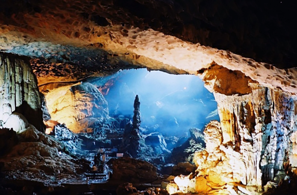
Regarding the origin of its unusual name, the cave is said to have been visited in 1901 by a French scientist, who named it “Grotte de la Surprise” because of its impressive beauty and the sense of wonder it inspires in visitors.

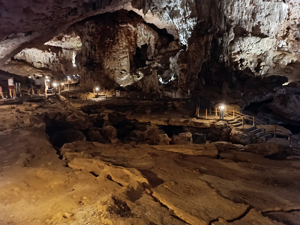
According to an old legend associated with Sửng Sốt Cave, after defeating the Ân invaders, Thánh Gióng rose into the clouds and flew to the heavens. He left behind his sacred swords and horses to protect the people and drive away evil spirits. The area then became a favourable place for settlement and prosperity.

(Photo: Huế Voyage)

La grotte de Sửng Sốt conserverait encore aujourd’hui les traces de ces batailles héroïques et glorieuses d’autrefois. Les petits bassins que l’on peut observer à l’intérieur de la grotte seraient, selon la légende, les empreintes des sabots des chevaux sacrés datant des temps anciens.